Civil War in Missouri Google Maps Project
Google Map of battles for a specific year
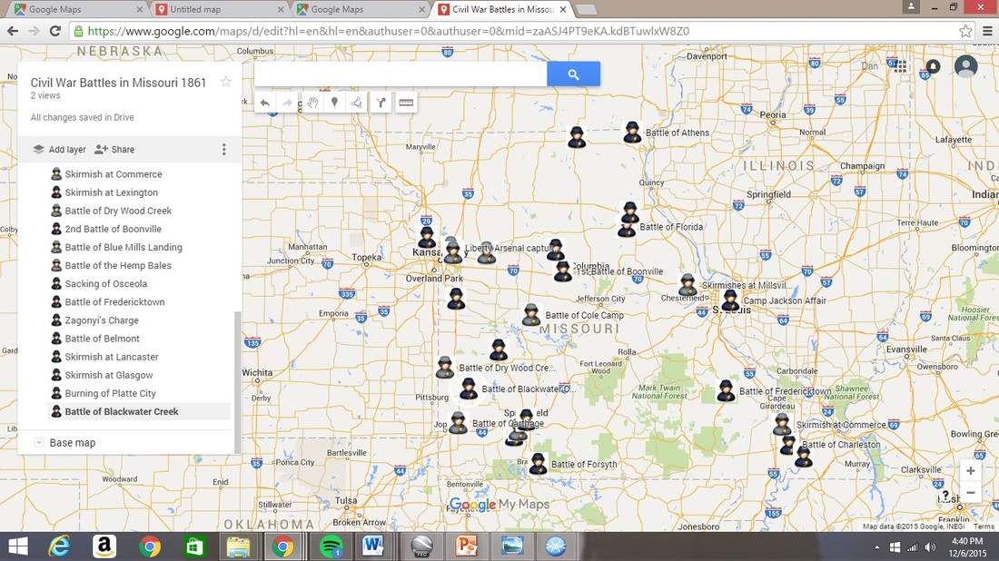
You are to construct a google map for the year that you are assigned that shows each military engagement occurring in Missouri during that year. Signify whether it was a Union or Confederate victory by changing the color of the place marker, blue for Union or gray for Confederate. You are provided with a list of the battles for this assignment. Research each online to construct a simple paragraph length description of the battle. Please use the following procedure to begin your map and then repeat for each. You must use your school gmail account to save your work.
You are to construct a google map for the year that you are assigned that shows each military engagement occurring in Missouri during that year. Signify whether it was a Union or Confederate victory by changing the color of the place marker, blue for Union or gray for Confederate. You are provided with a list of the battles for this assignment. Research each online to construct a simple paragraph length description of the battle. Please use the following procedure to begin your map and then repeat for each. You must use your school gmail account to save your work.
- Log on to Google and go to Google Maps.
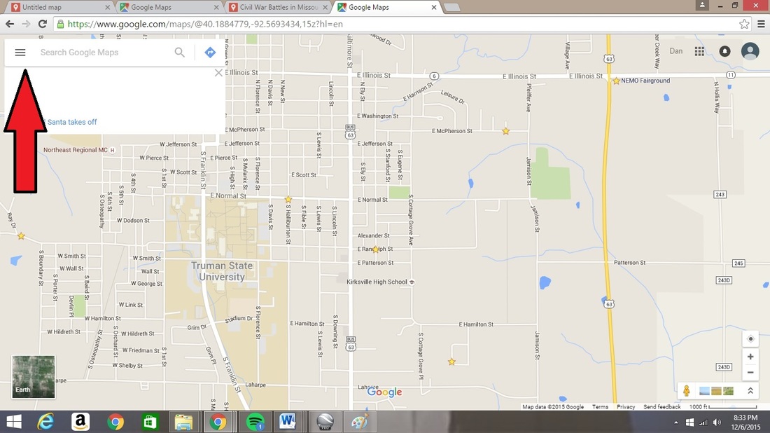
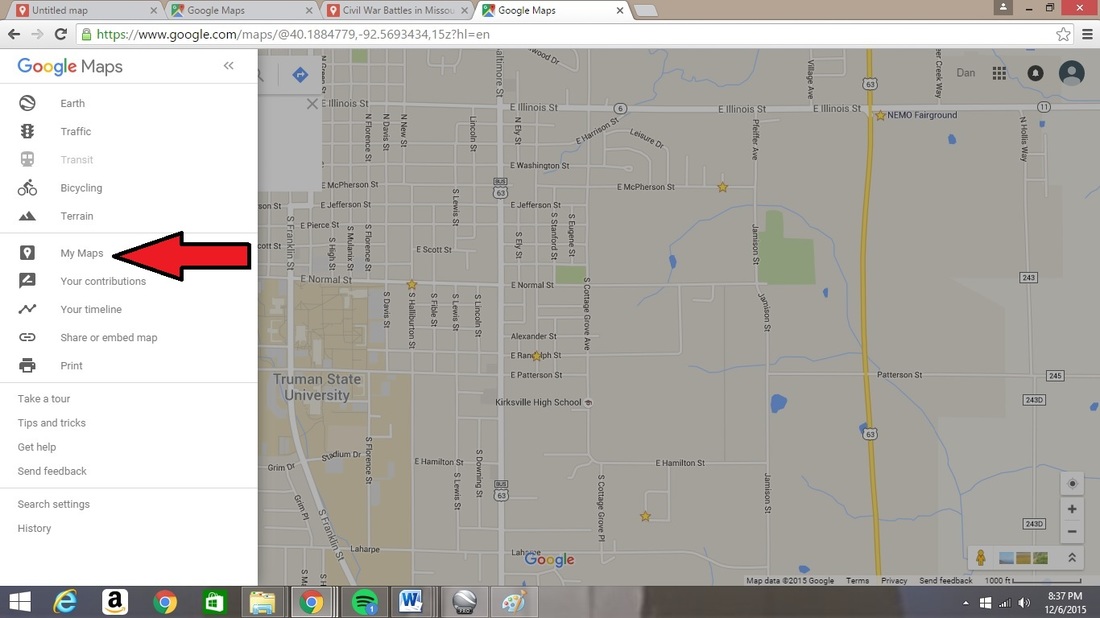
In the top left corner of the search command are three small lines. Click on these lines to enter the menu area.
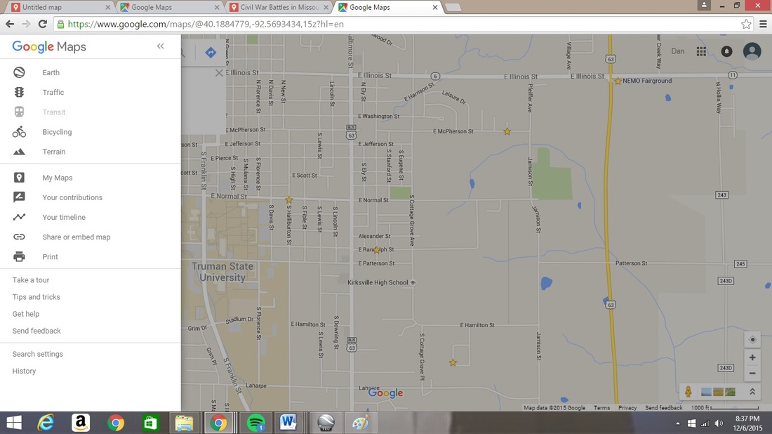
In the Google Map Menu you will see the command “My Maps.” Choose this option.
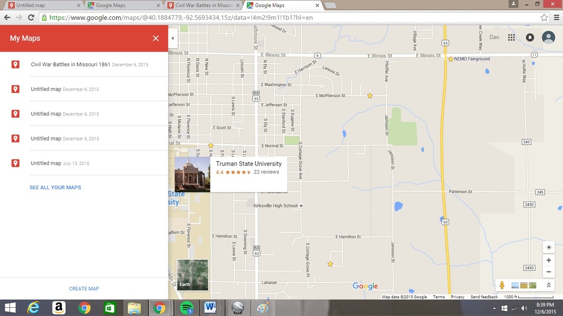
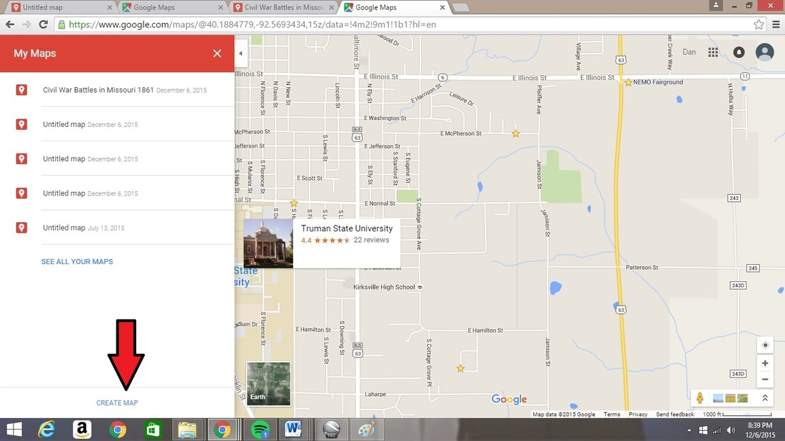
When you click on this command, you will receive a page showing all maps that you may have already created. At the bottom of this menu is the option “Create Map.” Choose this command.
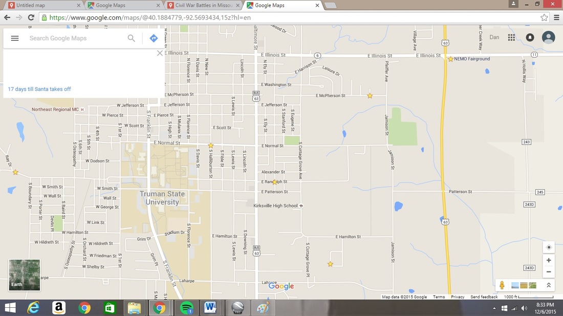
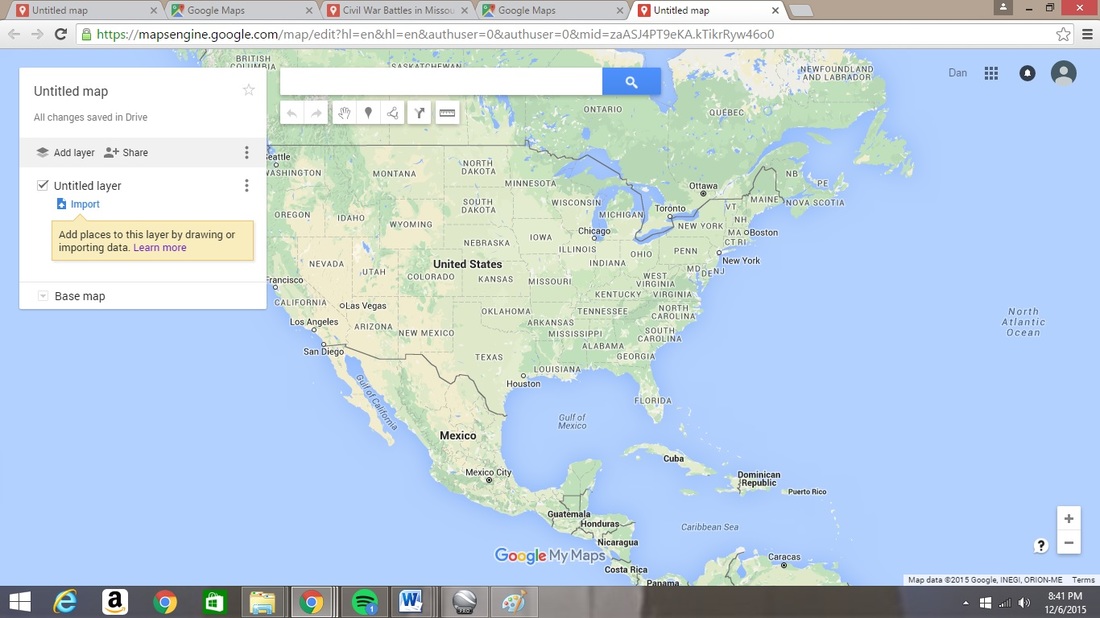
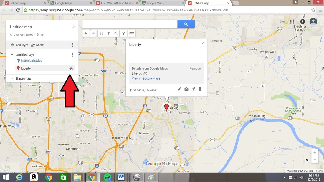
This command will bring you to a fresh screen for which you will be able to begin searching for new location. Enter into this command “Liberty, MO” as this is the first engagement that happens in the state.
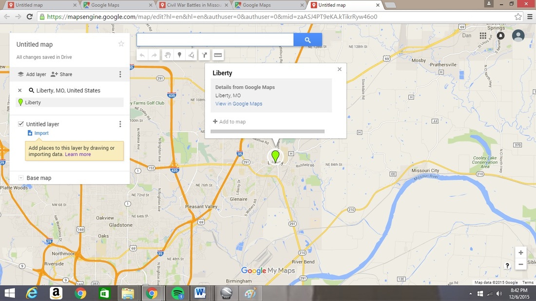
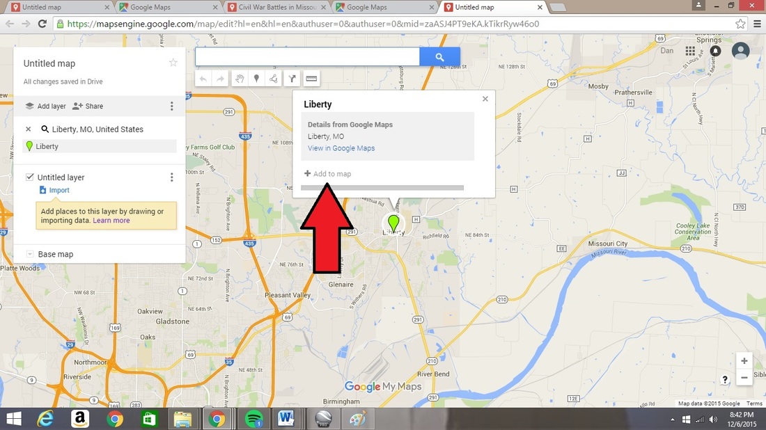
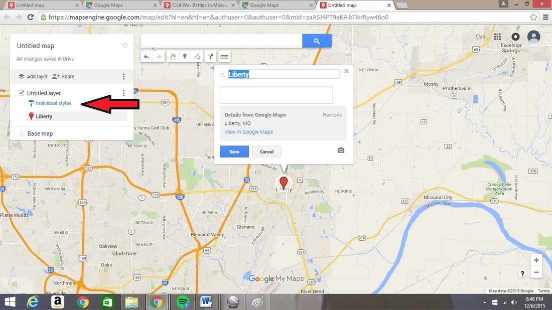
Your search will provide you with a “marker” for the location you have found for Liberty. Click on the “Add to map” command in the pop-up window over the searched location.
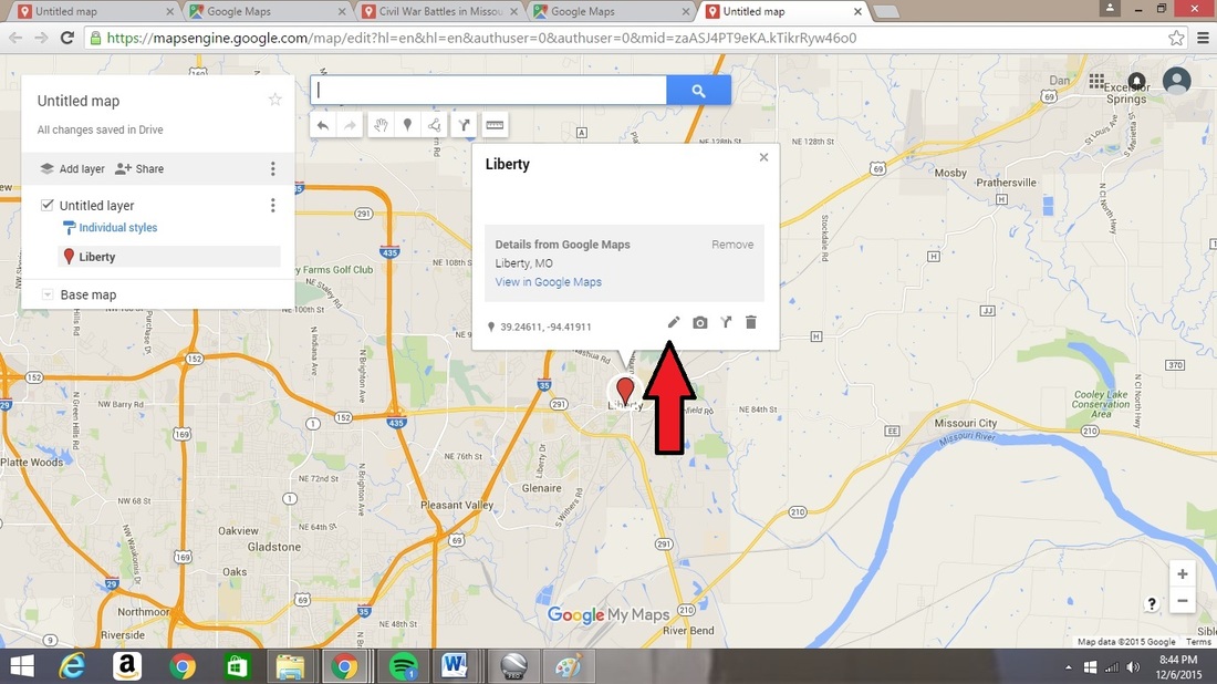
At this point you can begin typing your description of the event at Liberty, Missouri by clicking on the ink pen at the bottom of that pop-up screen.
Enter in the basic information for the event that occurred at this location at the beginning of the Civil War within Missouri. Click on the “Save” button when you are done.
Enter in the basic information for the event that occurred at this location at the beginning of the Civil War within Missouri. Click on the “Save” button when you are done.
Enter in the basic information for the event that occurred at this location at the beginning of the Civil War within Missouri. Click on the “Save” button when you are done.
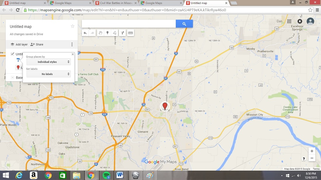
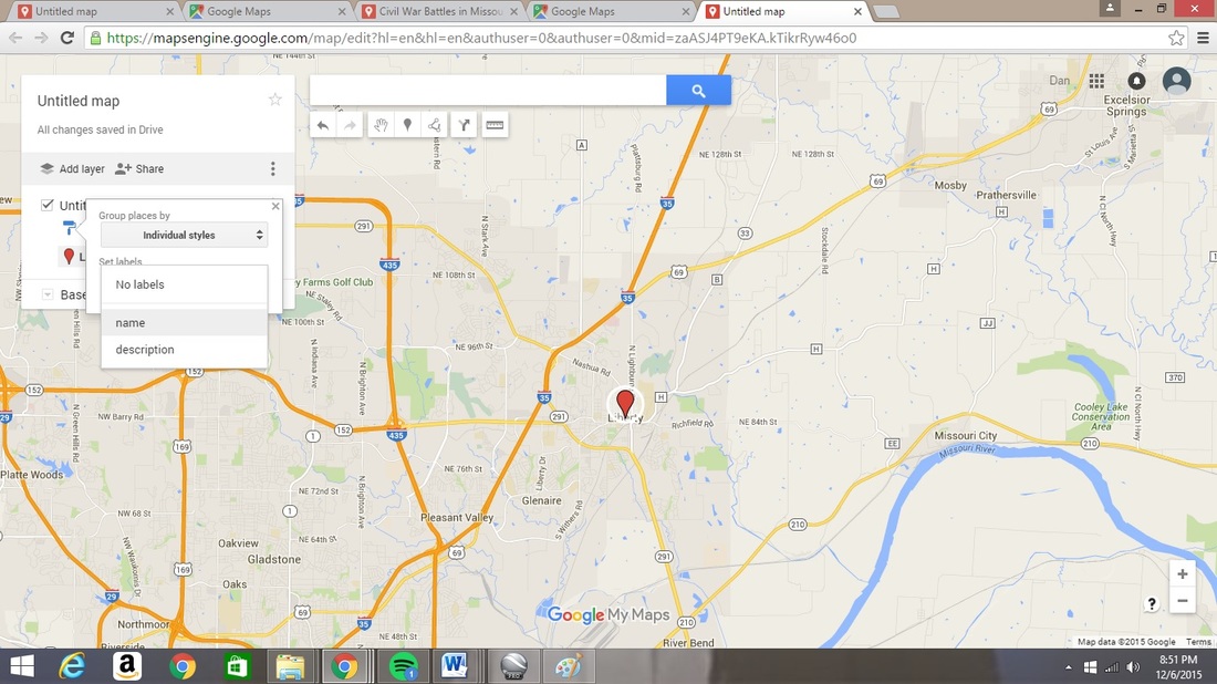
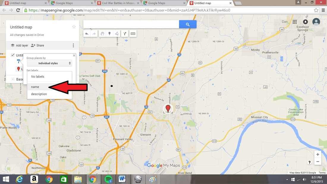
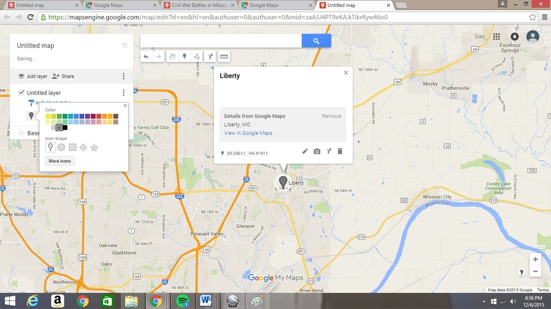
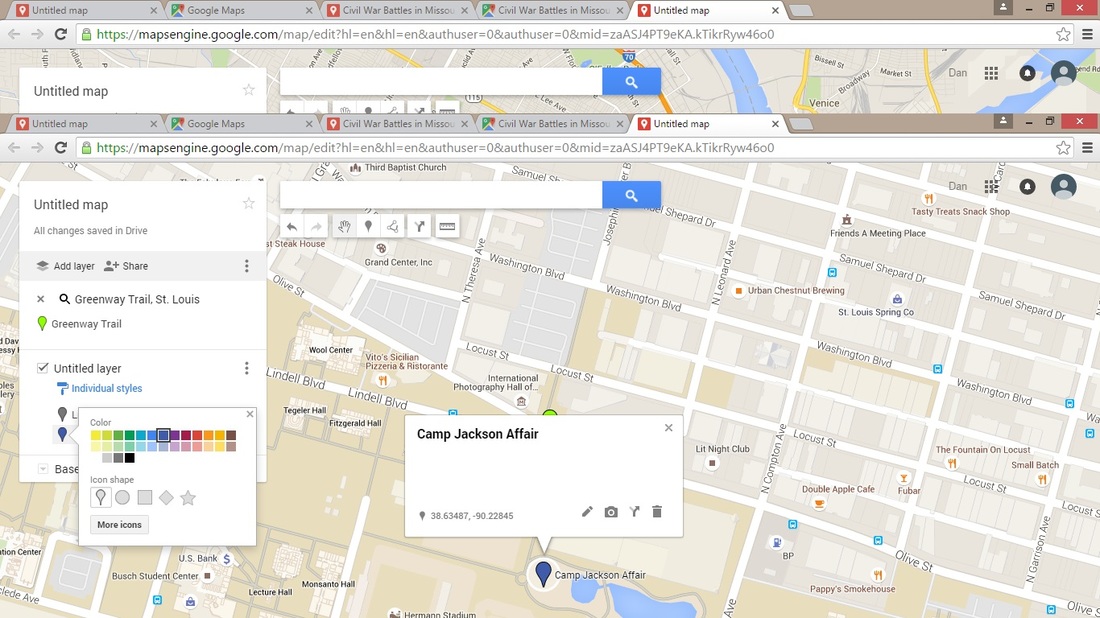
Select the option for “individual styles” and then click on the command to “set labels” so that each marker will display the “name” that you provide for each event.
At this point, click on the paint can beside your title for this event. This will open up a paint palette to allow you to select what color the marker will be. Choose a blue color for Union victories and a gray for Confederate victories.
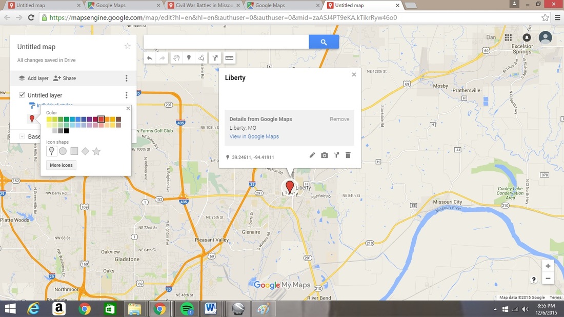
The actual appearance of the marker can be changed to a different image by clicking on “more icons” and additional images can be uploaded to be used. For instance, a American flag or a Confederate Battle Flag could be uploaded for use in representing the victors of a battle.
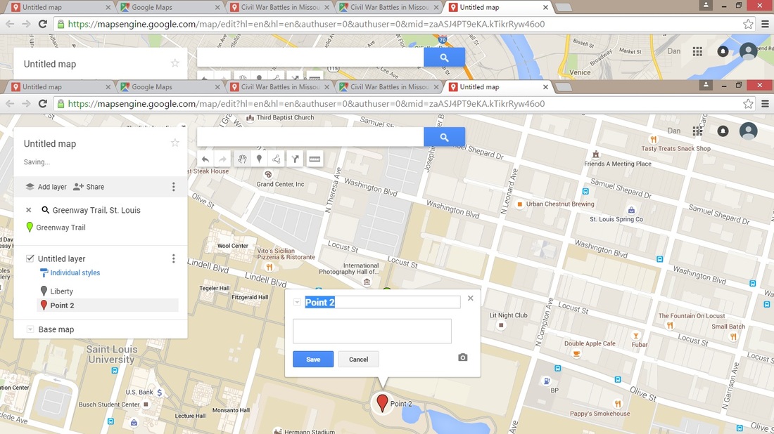
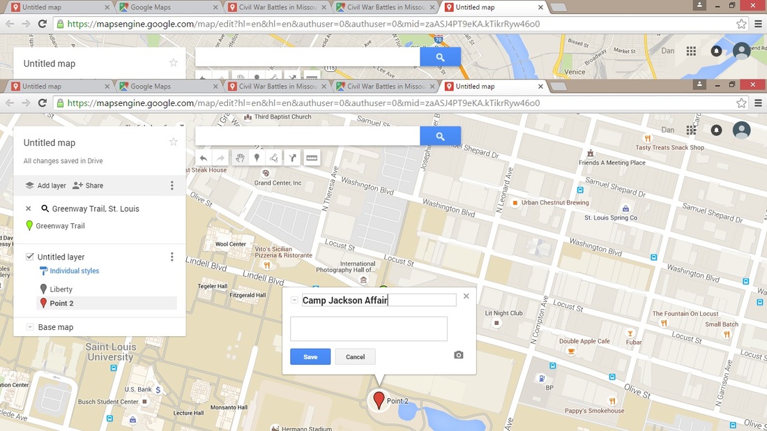
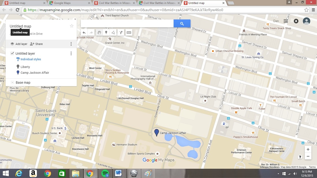
The next event of the Civil War in Missouri occurred at the encampment of the Missouri State Guard located at the Lindell Grove just outside of St. Louis. This location, known then as Camp Jackson in honor of Governor Claiborne Jackson, is now part of the campus of St. Louis University. To pinpoint the location of Camp Jackson we need to simply search for one of the neighboring streets. I chose to search for “Greenway Trail.” Once this is located, enlarge the map and move south to the park area between Greenway Trail and Compton Avenue.
The next event of the Civil War in Missouri occurred at the encampment of the Missouri State Guard located at the Lindell Grove just outside of St. Louis. This location, known then as Camp Jackson in honor of Governor Claiborne Jackson, is now part of the campus of St. Louis University. To pinpoint the location of Camp Jackson we need to simply search for one of the neighboring streets. I chose to search for “Greenway Trail.” Once this is located, enlarge the map and move south to the park area between Greenway Trail and Compton Avenue.
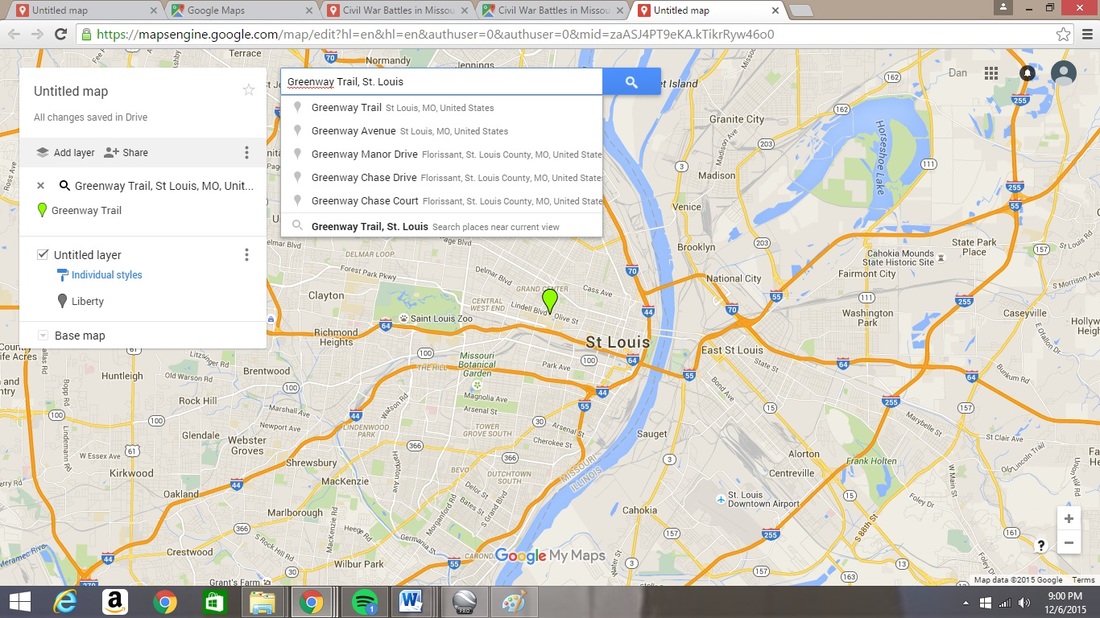
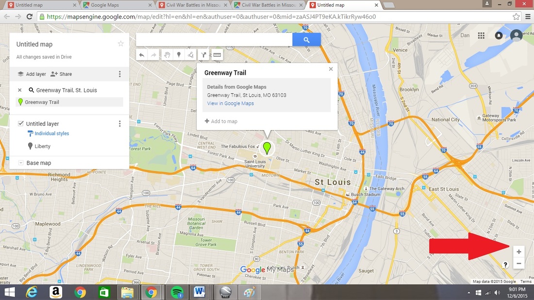
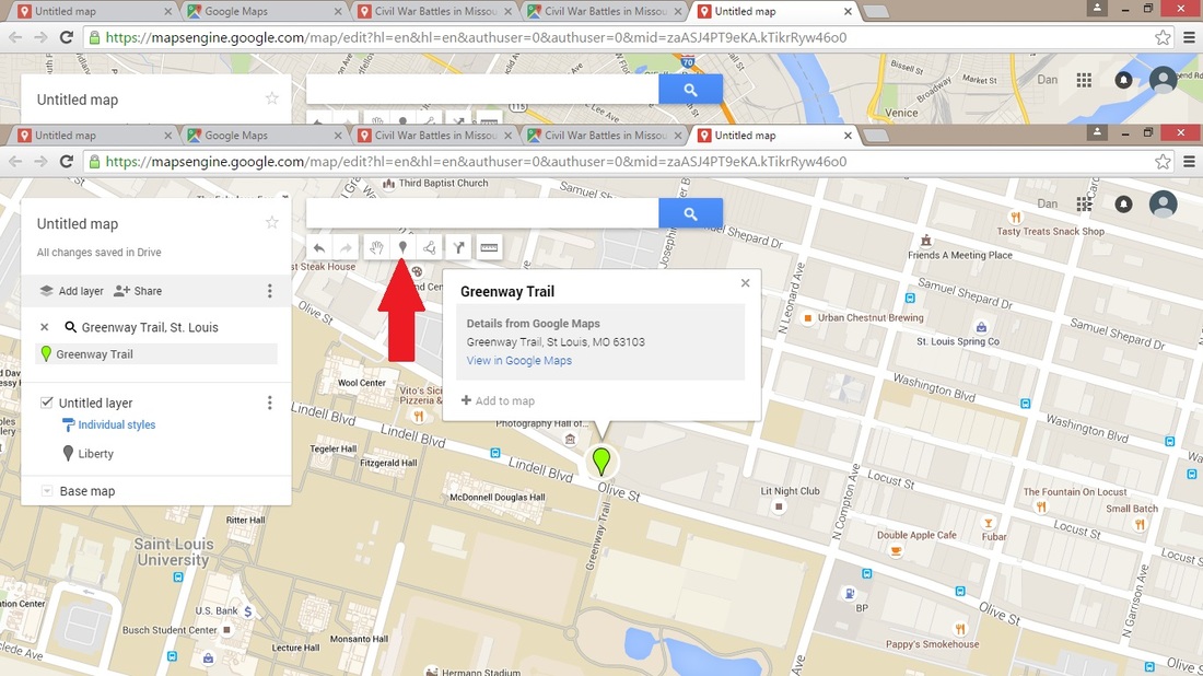
Under the search bar is a list of commands including a marker icon. Click on the marker icon command and then click on the park area near the Greenway Trail side. This is the approximate location of Camp Jackson.
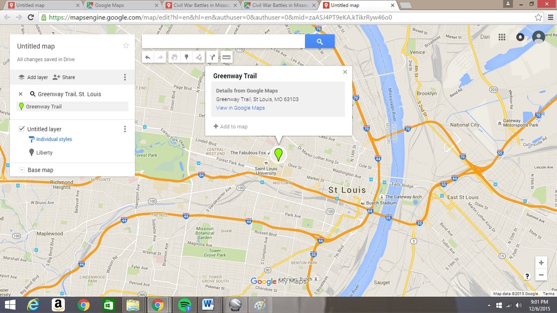
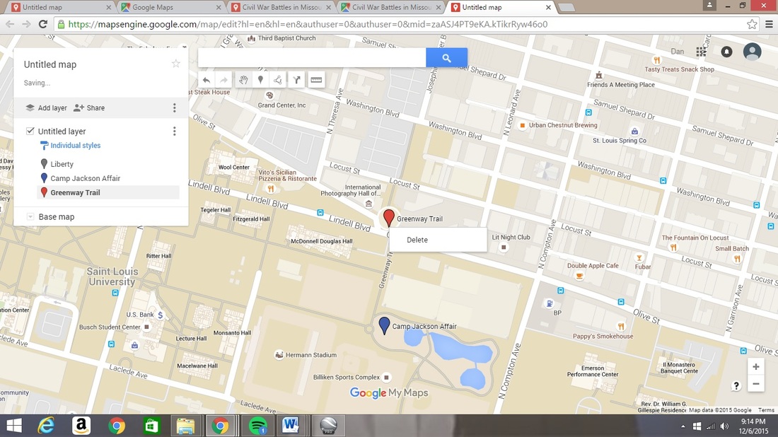
Once your Camp Jackson Affair location has been saved, you can delete the original Greenway Trail marker.
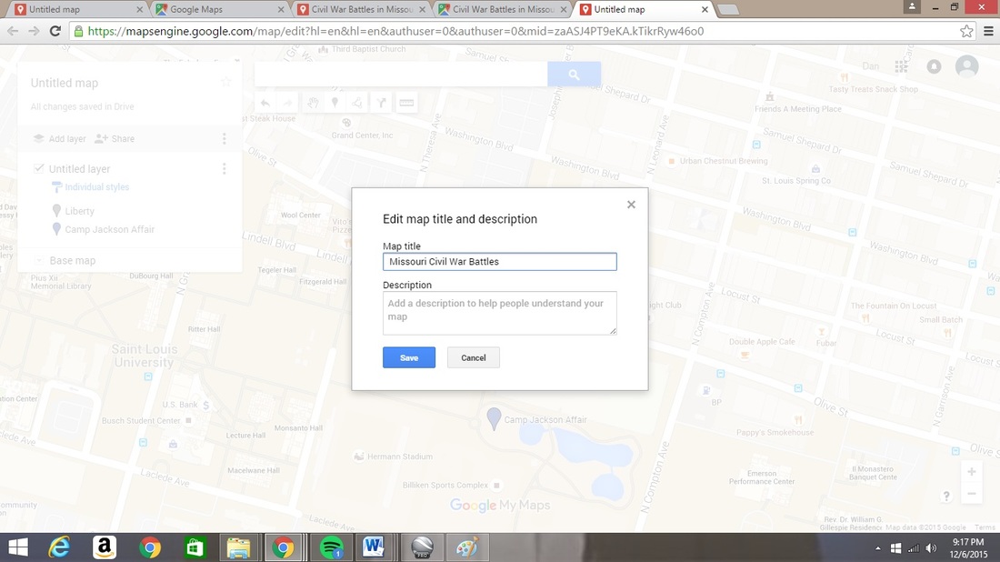
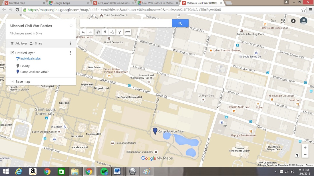
At the top of the menu box, click on the title “Untitled map” and rename the map to represent the Civil War in the year you are assigned.
Now that you have created your map and comprehend how to add locations properly, continue to complete the assignment. When you have your work completed, save it and share your final project with the instructor. We will spend time as a class observing each project and share in discussion.